
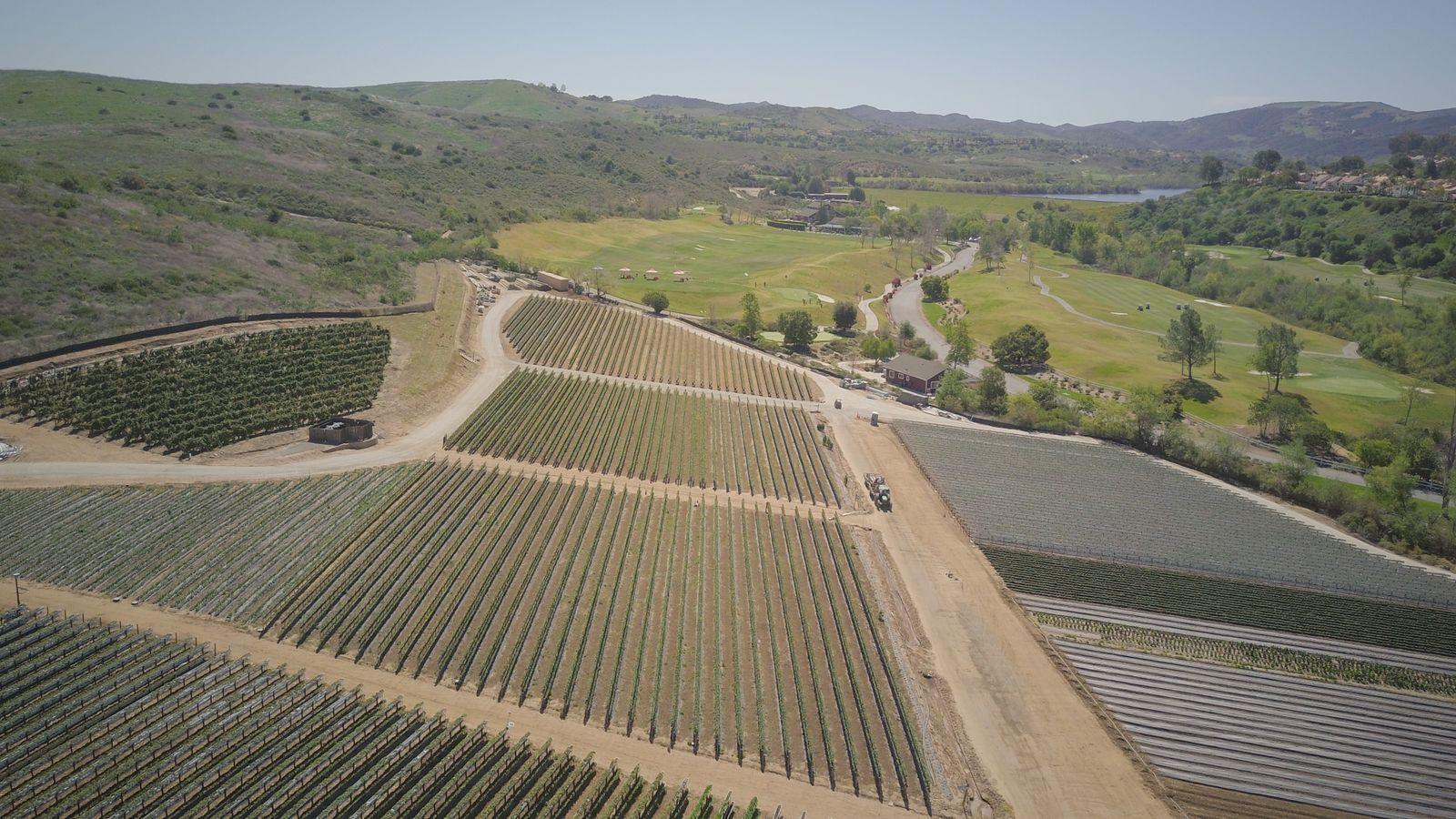
Mapping & site modeling
You receive
- 2D orthomosaic maps (GeoTIFF + web viewer)
- 3D photogrammetry: textured model and point cloud
- Surface models for planning (relative unless controlled)
Services
Maps, models and photos for construction, engineering, agriculture and asset teams. Every project is quoted to scope — call for details.
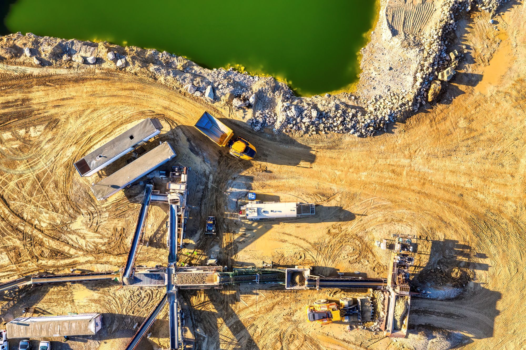
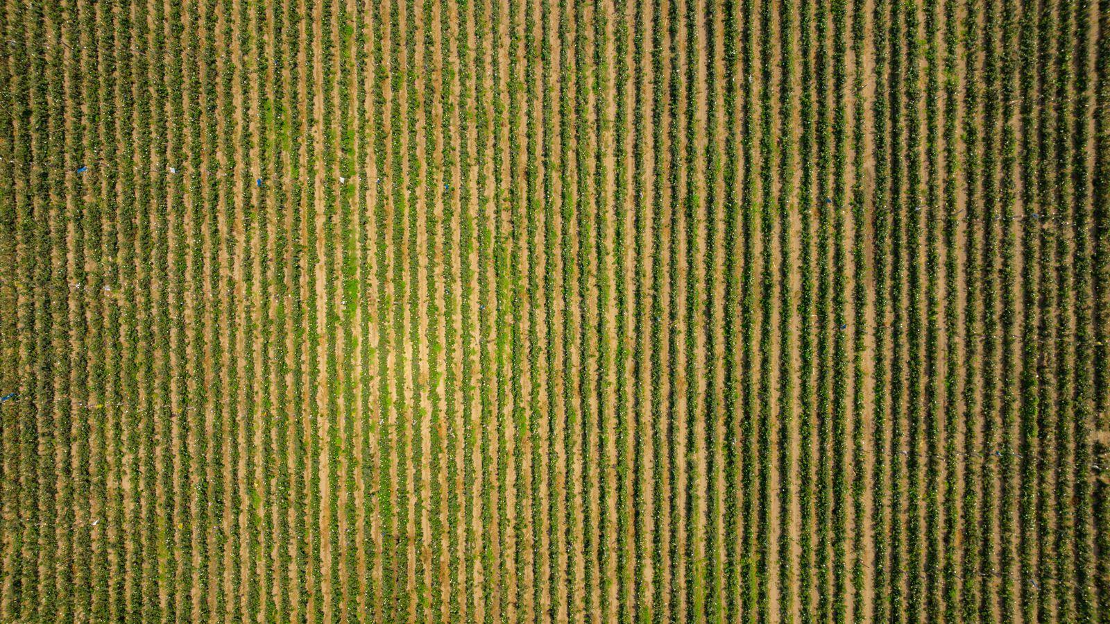
Representative licensed footage/photos; examples of services, not completed client projects.
You receive
You receive
You receive
You receive
Representative licensed footage/photos; examples of services, not completed client projects.
Call for pricing and project information. Every project is scoped individually — nothing is binding until a written quote is accepted.
Future service
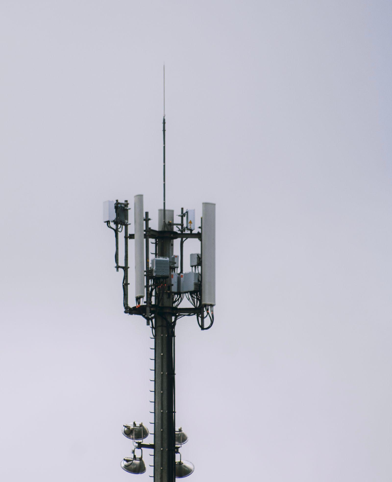
Power-line visual inspection is not currently offered. We welcome conversations about potential pilot projects only. Athena Aerial Services does not hold electrical qualified-worker status or any utility approval.
Discuss a pilot project →No autonomous BVLOS operations, no thermal imaging, no LiDAR, no professional land survey (PLS) or legal survey work, no certified engineering reports, and no guarantee of centimeter accuracy. Our deliverables support — but do not replace — licensed professionals.