
Nebraska · Lincoln · Omaha · Southeast NE
Drone mapping and 3D site models across southeast Nebraska
Georeferenced orthomosaics and photogrammetry models for construction pads, industrial yards and crop ground — scoped around your acreage, deadlines and airspace.
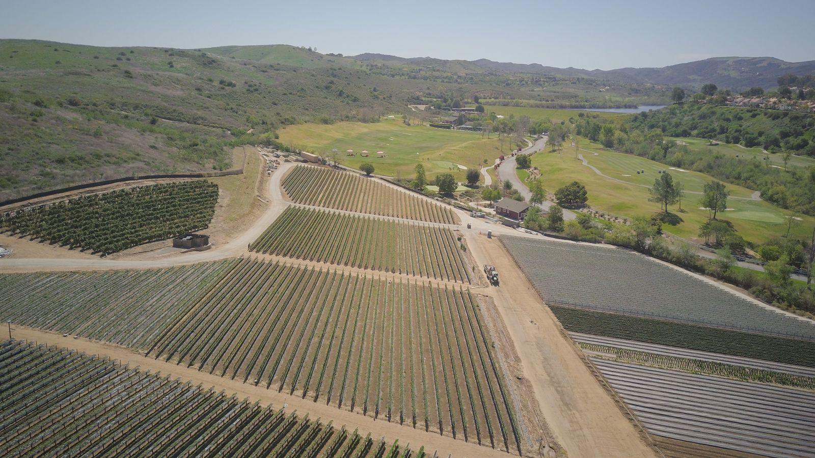
Representative licensed footage/photos; examples of services, not completed client projects.
01 — Overview
What a mapping flight gives you
A mapping flight captures hundreds of overlapping, geotagged RGB photos on a planned grid. Processing stitches them into a single top-down orthomosaic you can measure on, and — when the site and overlap support it — a textured 3D model, point cloud and surface model.
Southeast Nebraska sites vary a lot: flat row-crop sections, river-bottom ground near the Platte and Salt Creek, and busy commercial and industrial lots around Lincoln and Omaha. We plan altitude, overlap and timing for the site you actually have instead of a one-size template.
02 — Scope
Use cases and deliverables
Common Nebraska uses
- —Pre-construction site condition records and earthwork planning context
- —Industrial yard, lot and laydown area layout documentation
- —Field-level RGB crop imagery for scouting, drainage and stand review
- —Stockpile and material area estimates (with stated limitations)
- —Marketing and stakeholder visuals of land or facilities
Typical deliverables
- —GeoTIFF orthomosaic (georeferenced, measurable in GIS/CAD)
- —JPEG/PDF overview exports for people without GIS software
- —3D textured model (OBJ) and point cloud (LAS/LAZ) when the project supports 3D
- —Digital surface model (DSM) GeoTIFF when requested
- —Original geotagged source photos, on request
Exact outputs depend on the project, overlap, site conditions and what is agreed in the written scope.
03 — Planning
Nebraska planning: airspace, season and site access
- —Airspace near Eppley Airfield (OMA), Offutt AFB and Lincoln Airport (LNK) is checked before every booking; some locations need an authorization that takes time to obtain or may not be granted.
- —Flying season matters: spring wind, summer storms and winter cold all affect battery life and image quality. Leaf-off or bare-soil timing may suit some ground mapping better than mid-season canopy.
- —Crop imagery is most useful when timed to a growth stage — tell us what you want to see.
- —We need permission to launch from or over the property, a contact on site, and notice of hazards such as cranes, towers, livestock or active equipment.
- —If you need survey-grade coordinates, plan for ground control points set and verified by a licensed surveyor.
04 — Quote & limits
Call for pricing and project information
Call for pricing and project information. Every project is scoped individually — nothing is binding until a written quote is accepted.
What this service does not include
- —No licensed land survey (PLS), boundary or legal survey work
- —No certified engineering, structural or code-compliance opinions
- —No thermal imaging and no LiDAR — RGB (visible light) only
- —No BVLOS operations and no power-line or energized-utility inspection
- —No guaranteed accuracy figure or turnaround time without a written scope
05 — FAQ
Questions we hear on these projects
+What does a 3D photogrammetry deliverable for an Omaha-area site include, and what accuracy can you promise?
Athena serves Omaha and Lincoln by scheduled request. A typical 3D package is built from overlapping nadir and oblique RGB photos and can include a textured mesh (OBJ), a colorized point cloud (LAS/LAZ), a digital surface model (GeoTIFF), an orthomosaic and a short capture summary noting coverage gaps, flight date and coordinate system. We cannot promise a specific absolute or relative accuracy: results depend on GNSS conditions, ground control, overlap, texture, vegetation, wind and lighting. Without licensed-surveyor ground control and their sign-off, models are for visualization and planning context, not survey, design or legal use.
+Do you need a 3D model, or is a 2D orthomosaic enough?
If you need to see layout, extents and progress from above, a 2D orthomosaic is usually enough and costs less. Choose 3D when you need to see elevation, building faces, stockpile shapes or a model to walk stakeholders through. 3D needs more photos, oblique angles and processing time.
+Can you map an entire quarter section of crop ground?
Often yes. A quarter section is about 160 acres; Call us with the field location for a tailored quote. Wind, field access and nearby airspace decide how many flights it takes. This is visible-light imagery, not multispectral or NDVI sensing.
+How quickly will I get files?
Turnaround depends on acreage, weather and processing load, so we state it in the written quote rather than promising a fixed number of days. If you have a hard deadline, tell us when you request the quote.
+How are files delivered?
Through a cloud download link by default. Large point clouds and models can be several gigabytes; tell us if your team needs a specific format, coordinate system or a physical drive.