
Arizona · East Valley contractors
Repeat progress imagery and visual inspections in the East Valley
Consistent, dated RGB views of your project from the same positions each visit, plus close photo sets of roofs and visible surfaces. Scheduled by request; coverage subject to availability.
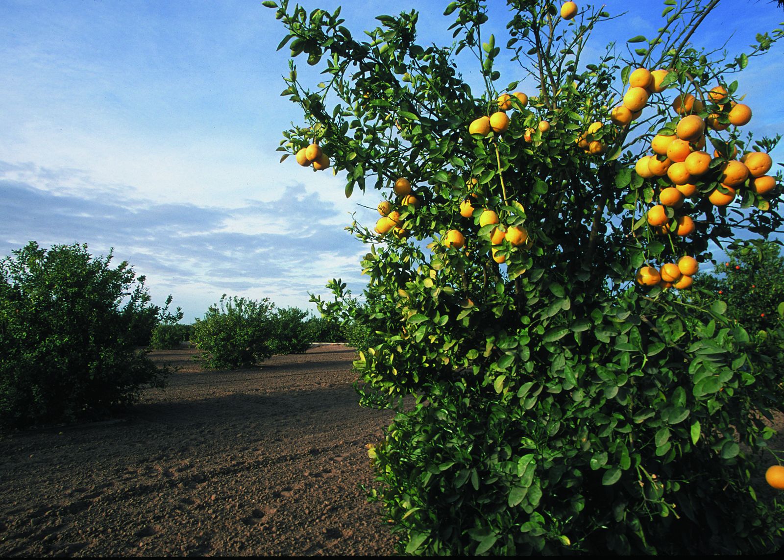
Grapefruit orchard — Yuma, Arizona. Representative Arizona vegetation, not a construction site. USDA NRCS public-domain photo taken in Yuma, Arizona — not Gilbert, Mesa or Chandler, and not an Athena customer site.
01 — Overview
A consistent record, visit after visit
General contractors, developers and owners in Gilbert, Mesa and Chandler use progress flights to show status without walking every stakeholder through the site. We reuse saved flight paths and vantage points so each set lines up with the previous one.
Visual inspections cover what the camera can see: roofs, parapets, rooftop units, façades and site features. The images support decisions by your roofer, inspector or engineer — they are not an inspection report or certification.
02 — Scope
Use cases and deliverables
Typical requests
- —Recurring progress flights for owner and lender updates
- —Milestone captures tied to pours, steel, dry-in and close-out
- —Roof and rooftop-equipment photo sets for maintenance planning
- —Post-monsoon visual documentation of visible surfaces
- —Close-out aerials for project records
Typical deliverables
- —Date-stamped JPEG photo sets from saved vantage points
- —Progress orthomosaic (GeoTIFF) per visit when requested
- —Short MP4 flyover or orbit clips
- —Organized roof/facility photo sets by section
- —Brief PDF capture summary noting any areas that couldn't be flown
Exact outputs depend on the project, overlap, site conditions and what is agreed in the written scope.
03 — Planning
Arizona scheduling constraints
- —Recurring visits are grouped into scheduled Arizona field windows; agree on a target interval and an acceptable date range.
- —Summer flights are typically scheduled early in the morning because of heat and battery limits.
- —Monsoon dust and wind can force a reschedule on short notice.
- —Sites under airport-controlled airspace may need authorization and altitude limits.
- —Active sites need a site contact, safe launch area and awareness of cranes and lifts.
04 — Quote & limits
Call for pricing and project information
Call for pricing and project information. Every project is scoped individually — nothing is binding until a written quote is accepted.
What this service does not include
- —No licensed land survey (PLS), boundary or legal survey work
- —No certified engineering, structural or code-compliance opinions
- —No thermal imaging and no LiDAR — RGB (visible light) only
- —No BVLOS operations and no power-line or energized-utility inspection
- —No guaranteed accuracy figure or turnaround time without a written scope
- —No determination of roof condition, damage cause, warranty or claim outcome
05 — FAQ
Questions we hear on these projects
+How does drone progress documentation work for a Chandler construction site?
On the first visit we save the flight path and photo positions, then repeat those same vantage points on later visits so each dated set lines up with the last. Dated JPEG photo sets suit owner and lender updates; add a progress orthomosaic when you need a measurable top-down view of the whole site each visit. Before any flight we need written permission from the owner or GC, a site contact and an airspace check, because parts of Chandler sit near Chandler Municipal (CHD) and other controlled airspace. Visit intervals are a target, scheduled into Arizona field windows by availability, not a guaranteed date.
+How often should we fly a commercial build?
Monthly is common for owner reporting; bi-weekly suits faster schedules. Because Arizona visits are scheduled in windows, a target interval with a few days of flexibility works best.
+Can you inspect HVAC units or solar arrays for faults?
We can photograph them in visible light. Finding electrical or thermal faults needs thermal imaging and qualified technicians, which we don't offer.
+Will you coordinate with our superintendent?
Yes. Give us a site contact; we'll confirm arrival, launch area, PPE and any crane or lift activity before each visit.
+How are photos delivered?
Through a cloud download link organized by date. We can match a folder naming convention your team already uses.