
Construction & development
Pre-construction site maps, monthly progress flights and stakeholder-ready visuals.
Sample workflow - illustrative
Recurring progress flights on a fixed schedule, delivered as dated orthomosaics.
Industries
Representative licensed footage/photos; examples of services, not completed client projects.
Pre-construction site maps, monthly progress flights and stakeholder-ready visuals.
Recurring progress flights on a fixed schedule, delivered as dated orthomosaics.
Stockpile volumetric estimates for inventory planning, with ground control when accuracy matters.
Quarterly stockpile capture with a volume summary and stated tolerances.
RGB roof and facade visual documentation to support maintenance planning.
Roof imagery set for a maintenance contractor's own assessment.
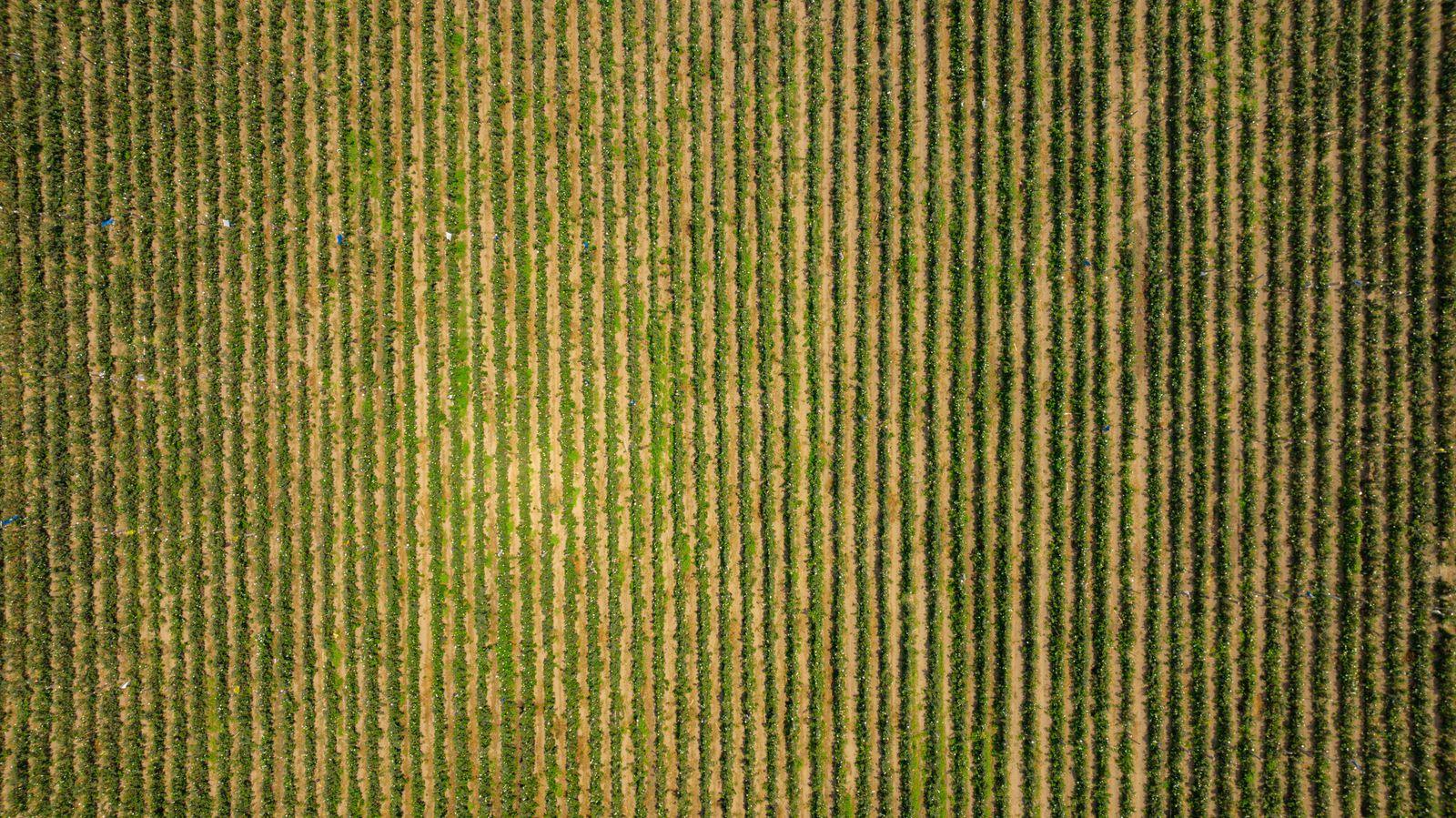
RGB stand / emergence counts and dated crop progression maps for growers, crop consultants and research plots — visible-light only, with stated uncertainty.
Emergence-stage count on sample zones plus three dated progression orthomosaics compared side by side.
Visual right-of-way corridor imagery within visual line of sight.
Segmented corridor capture with georeferenced photo index.