
Nebraska · Progress & visual inspection
Dated, repeatable progress imagery for Nebraska job sites
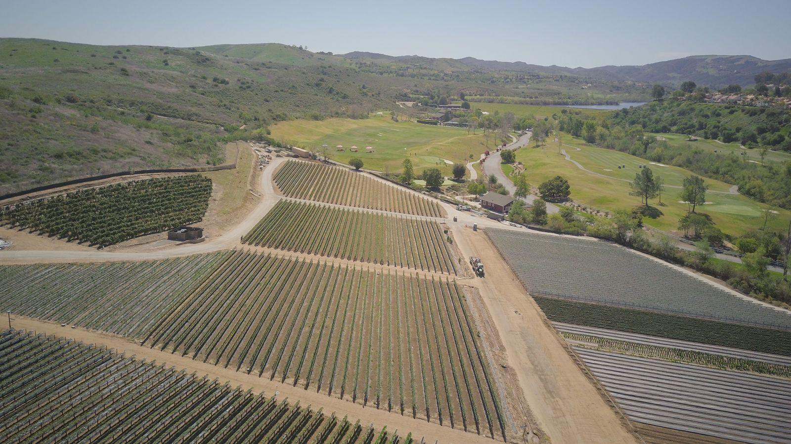
The same vantage points, flown on a schedule you set, so owners, lenders and project teams can compare one visit to the next. Plus close-up RGB views of roofs and visible surfaces.
Representative licensed footage/photos; examples of services, not completed client projects.
01 — Overview
Why repeatability matters
Progress photos are only useful if they can be compared. We save the flight plan and camera positions from the first visit and reuse them, so each set of images lines up with the last. Every file is date-stamped.
For roofs, facilities and other visible surfaces, a drone gets close views of areas that are hard or unsafe to reach on foot. The result is a photo record that a roofer, inspector, adjuster or engineer can review — we document what is visible; qualified professionals make the call.
02 — Scope
Use cases and deliverables
Typical requests
- —Weekly, bi-weekly or monthly progress flights for owners and lenders
- —Milestone records: foundation, framing, roof dry-in, site close-out
- —Visual roof surveys after storms (hail and wind season) for documentation
- —Facility envelope, parapet, gutter and rooftop-equipment photo sets
- —Before/after records for neighboring-property or punch-list questions
Typical deliverables
- —Date-stamped high-resolution JPEG photo sets from fixed vantage points
- —Short orbit or flyover video clips (MP4) when requested
- —Progress orthomosaic (GeoTIFF) per visit for overhead comparison
- —Labeled roof/facility photo set organized by elevation or roof section
- —Simple PDF summary of what was captured and any access limitations
Exact outputs depend on the project, overlap, site conditions and what is agreed in the written scope.
03 — Planning
Picking a repeat interval
- —Weekly: fast-moving sites or when an owner wants frequent updates.
- —Bi-weekly or monthly: most commercial and residential-development schedules.
- —Milestone-based: flights tied to pour dates, dry-in or substantial completion.
- —Weather holds are common in Nebraska spring and winter; we reschedule rather than fly in unsafe wind, rain or icing.
- —Active sites need a site contact, PPE expectations, crane and equipment awareness, and a safe launch area away from workers.
04 — Quote & limits
Call for pricing and project information
Call for pricing and project information. Every project is scoped individually — nothing is binding until a written quote is accepted.
What this service does not include
- —No licensed land survey (PLS), boundary or legal survey work
- —No certified engineering, structural or code-compliance opinions
- —No thermal imaging and no LiDAR — RGB (visible light) only
- —No BVLOS operations and no power-line or energized-utility inspection
- —No guaranteed accuracy figure or turnaround time without a written scope
- —No determination of roof condition, damage cause, warranty or insurance claim outcome
05 — FAQ
Questions we hear on these projects
+Can you prove a roof has hail damage?
No. We capture clear, close RGB photos of visible surfaces. Whether something is damage, what caused it and whether it is covered are decisions for a roofer, adjuster or engineer reviewing the images.
+Do you fly over workers on active sites?
We plan flights to avoid flying over people who are not part of the operation and coordinate timing with the site contact. Some sites are best flown before crews arrive or during a break.
+What if the weather cancels a scheduled visit?
We reschedule to the next safe window and keep the same vantage points, so the record stays consistent. Recurring scopes should allow some flexibility in exact dates.
+Can these images be used in a lender draw report?
Many teams use dated progress imagery as supporting context. Whether it satisfies a lender's requirements is up to the lender; ask them what they need and include it in your quote request.