
Arizona · Gilbert · Mesa · Chandler · East Valley
Drone mapping and 3D site models for the East Valley
Measurable orthomosaics and photogrammetry models for construction pads, industrial parcels and developing land. Arizona service coverage is subject to scheduling — we do not operate a local Arizona office.
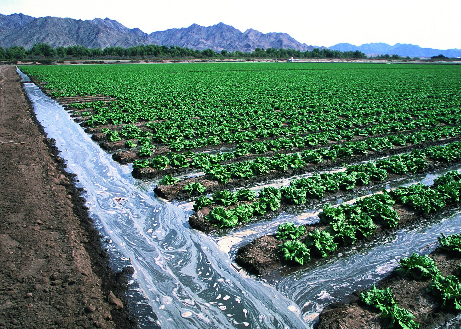
Irrigated lettuce field — Yuma, Arizona. Representative Arizona agriculture; not Athena client projects. USDA NRCS public-domain photo taken in Yuma, Arizona — not Gilbert, Mesa or Chandler, and not an Athena customer site.
01 — Overview
Built for fast-moving East Valley sites
Gilbert, Mesa and Chandler have a steady mix of new commercial pads, industrial and data-center-scale parcels, and master-planned development. A georeferenced map or 3D model gives everyone the same current picture of the ground.
Arizona work is booked by request and grouped into scheduled field windows. Tell us your dates early; we'll confirm availability before you commit.
02 — Scope
Use cases and deliverables
Common East Valley uses
- —Pre-construction and grading-stage site records
- —Industrial parcel and yard layout documentation
- —3D context models of structures and surroundings for stakeholders
- —Stockpile and material area estimates (with stated limitations)
- —Land and facility visuals for brokers and owners
Typical deliverables
- —GeoTIFF orthomosaic for GIS/CAD review
- —3D textured model (OBJ) and point cloud (LAS/LAZ) when the site and overlap support 3D
- —Digital surface model (DSM) on request
- —JPEG/PDF overview exports for non-GIS users
- —Original geotagged photos on request
Exact outputs depend on the project, overlap, site conditions and what is agreed in the written scope.
03 — Planning
Arizona planning: heat, airspace and access
- —Summer heat shortens battery life and can stress equipment, so we favor early-morning flights from roughly May through September.
- —Monsoon season (mid-June through September) brings dust, gusts and storms that can cancel a flight on short notice.
- —Airspace around Phoenix-Mesa Gateway (IWA), Chandler Municipal (CHD), Falcon Field (FFZ) and Sky Harbor is checked for every site; some locations need an authorization that may take time or not be granted.
- —We need launch permission, a site contact, gate or access instructions, and notice of hazards such as cranes and overhead lines.
- —Survey-grade results require ground control set and verified by an Arizona-licensed surveyor.
04 — Quote & limits
Call for pricing and project information
Call for pricing and project information. Every project is scoped individually — nothing is binding until a written quote is accepted.
What this service does not include
- —No licensed land survey (PLS), boundary or legal survey work
- —No certified engineering, structural or code-compliance opinions
- —No thermal imaging and no LiDAR — RGB (visible light) only
- —No BVLOS operations and no power-line or energized-utility inspection
- —No guaranteed accuracy figure or turnaround time without a written scope
05 — FAQ
Questions we hear on these projects
+When should a Mesa site choose an RGB 3D photogrammetry model instead of a basic orthomosaic?
Choose a basic 2D orthomosaic when you mainly need a current top-down view of layout, extents or progress. Choose a 3D model when stakeholders need to see building faces, elevation changes, stockpile shapes or the site in context, since that requires oblique photos, more overlap and more processing. Tell us your site boundary, deliverable formats, coordinate system and deadline so we can scope it. We also check airspace near Falcon Field and Phoenix-Mesa Gateway before booking; some locations need FAA authorization that may limit altitude or not be granted. Mesa and the East Valley are served by scheduled availability. Athena Aerial Services has no local Arizona office.
+Do you have an office in Gilbert?
No. Athena Aerial Services serves Gilbert, Mesa, Chandler and the East Valley by scheduled request. Service coverage is subject to scheduling, and we confirm dates before quoting.
+Can you fly near Phoenix-Mesa Gateway or Chandler airport?
Sometimes. Controlled airspace near those airports may require an FAA authorization with altitude limits. We check before booking and tell you if a site can't be flown as requested.
+Is a 3D model accurate enough for design?
A photogrammetry model is great for visualization and planning context. Design-grade or legal accuracy requires licensed-surveyor ground control and their sign-off; we can fly to support that workflow but do not certify accuracy ourselves.
+What's the best time of year to fly in the Valley?
October through April usually offers the most reliable conditions. Summer flights are still possible, typically shortly after sunrise, with more weather holds during monsoon season.