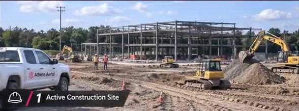
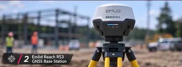
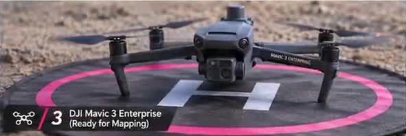
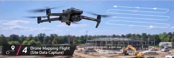
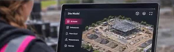
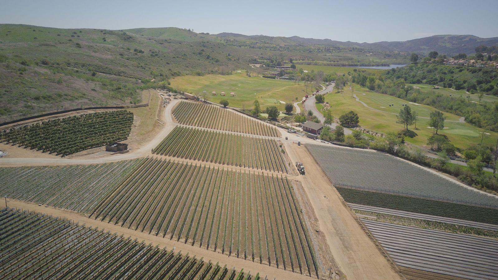
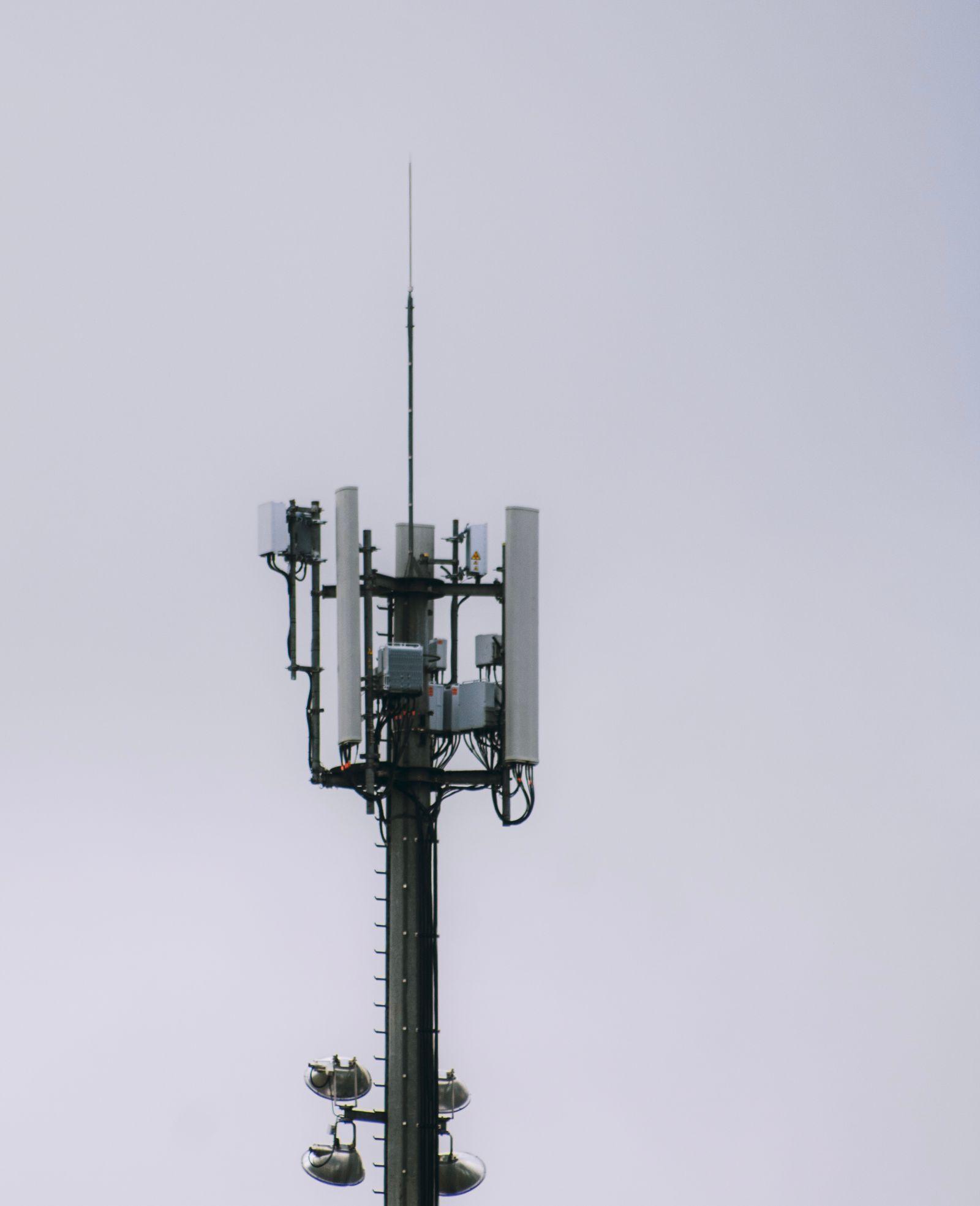
Representative licensed photographs and video, not completed Athena Aerial Services projects. Project locations shown are not necessarily Nebraska or Arizona.
Construction Mapping: Drone + RTK + 3D Model
Scene 1 of 6: Active construction site
AI-generated illustrative workflow — not an actual completed Athena project. The person shown is an illustration, not the owner or an identified staff member. Silent; no audio. Open the MP4 version (about 4 MB). Request a quote
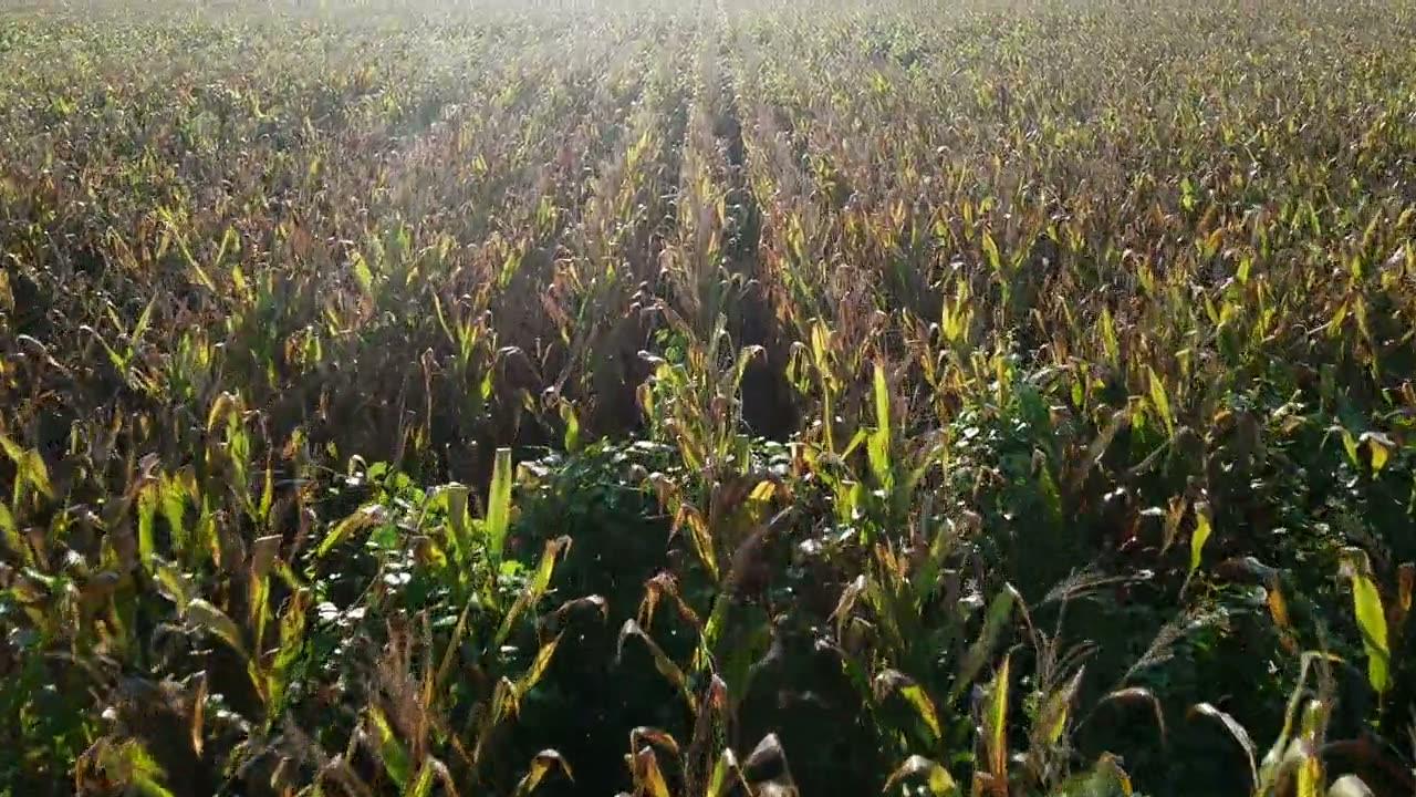
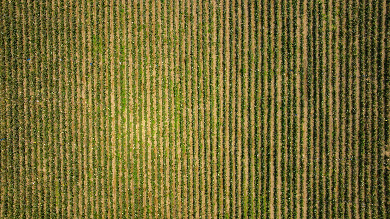
Top-down row-crop pass — emergence and stand review perspective.Low pass over mature corn — scouting perspective.Approach to a hilltop telecom site.
Overhead crop rows, closed canopy.Early-stage rows over bare soil.Oblique context of irrigated blocks.Panel antennas and radio units on a monopole.
The crop, telecom and mapping gallery clips and photos shown below are licensed stock from Pexels; the construction mapping workflow video above is an AI-generated illustration supplied by the site owner. None are footage of Athena Aerial Services client projects. See media credits. Showing them does not imply that any property, brand, site or person pictured endorses Athena Aerial Services or All Over Aerial LLC, and the person in the video is an illustration, not the owner or an identified staff member. Genuine Athena Aerial Services footage will replace them once supplied.